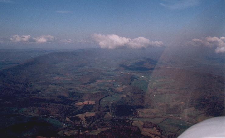
this is a photo of Southern Virginia from about 6500 ft.msl.
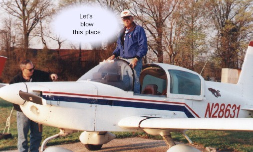
N28631
I flew back to Maryland on Friday April 16th via big silver bird and went for a ride
Saturday morning with the previous owner of our new Tiger for about an
hour. Dad had done some flying with him before in the plane and I needed to get
aquainted with it for our trip. We did about 2 touch & gos at
Potomac Airport (VKX) and then flew over to Freeway airport (WOO) near my parents' house
and did a couple of landings there.
In the afternoon I went for a check ride with an Instructor who is also the Plane Doctor
at Potomac Airport (Bobbie Boucher). After all that Dad and I took the plane over to
Freeway airport for the night. Sunday we did the family rides and got everyone in
the family up for a short ride in the plane. Monday morning at about 7:15 am we left
Freeway airport on our cross country trip. We had headwinds and had them the whole trip.
So the times for the distances traveled are a bit dissapointing.
Click on the images to see the full photos
this is a photo of Southern Virginia from about 6500 ft.msl.
First stop was Knoxville Downtown airport. We found out our first and only real
problem with the plane during the trip just about 80 miles before Knoxville is a Terminal
Radar Service Area around the Tri-cities airport and we called in to get on their radar.
We found that the Transponder was not operating. Anyway called the previous owner
from Knowville and let him know we were having trouble with the Transponder. Had to
leave a message on his answering machine. We continued on and decided that we would
just stay out of class B and C airports and mode c areas. The first leg from Freeway
Airport in Maryland to Knowville took us 3.8 hours hobbs time. and 39.0 gallons of
fuel, distance was about 375 n.m.
Next leg was to Jonesboro, AR. 330 n.m. and about 3.6 hobbs time.
34.4 gals. of fuel
Made Tulsa, OK. Richard Jones Jr. airport. About 260 n.m., 2.9 hobbs
time and 27. gals. fuel
Funny thing about this airport is that the tower and approach call it Riverside airport.
We spent the night in Tulsa. Got hold of previous owner and he mentioned that occasionaly
the antenna wire for the transponder got knocked off the antenna under the seat. We
plugged it back in in the morning and it worked fine.
Tuesday morning and calm winds on the ground but just after takeoff we had strong
headwinds so headed up to about 6500 ft msl and then on up to 8500 ft. msl and found the
headwinds to be a bit more from the south so stayed up there for a while and stopped in
Amarillo for breakfast and fuel . It was a 290 n.m. leg and took us 2.9 hours and 27.8
gals fuel.
Amarillo was one ofthe most expensive fuel stops. At TAC AIR ( the General Aviation FBO)
the fuel was $2.06 a gal. + .24 a gal for tax.
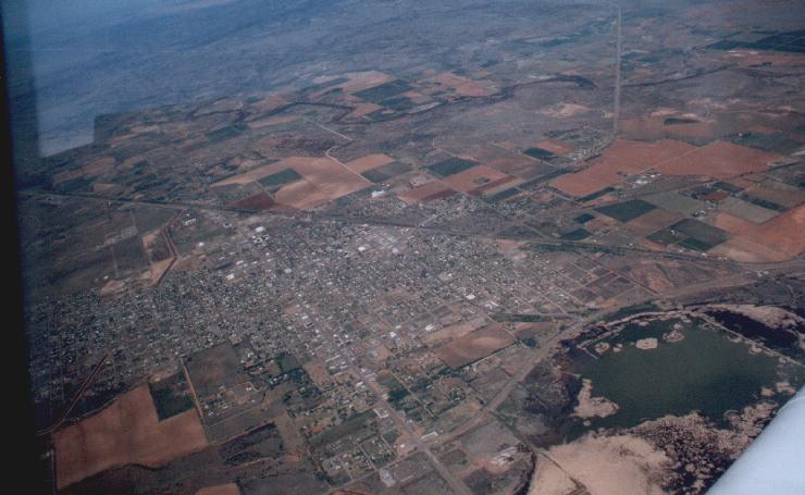
This is a shot of Tucumcari, New Mexico from about 8500 ft msl

The continental Divide from 10,500 ft. msl
Next stop was Gallup, New Mexico. Leg was 390 n.m. and 3.8 hours
30.9 gals. fuel.
From Gallup we went over to Window Rock, Arizona for a short visit. Landed and walked into
town.
Window Rock was windy and Dad said it had changed considerably since the 70's when he had
been using it as a grocery stop while he was living out in northern Arizona for a short
time.
After Window Rock it was high desert and strong winds (also strong up drafts)
We magnaged to get the Tiger to 14,500 ft. msl and so then went straight over the Grand
Caynon. Special flight rules require 14,500 msl for overflights of the Caynon unless you
go through a corridor just west of Crand Caynon Airport.
It was slow flying but never thought that our Tiger would hold 14,500 as well as it did.

Looking Northeast at 14,500 msl over the Grand Caynon
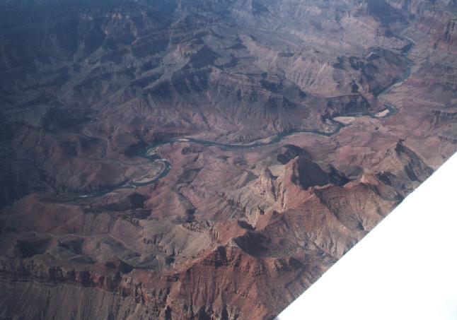
The Colorado River down in the Caynon
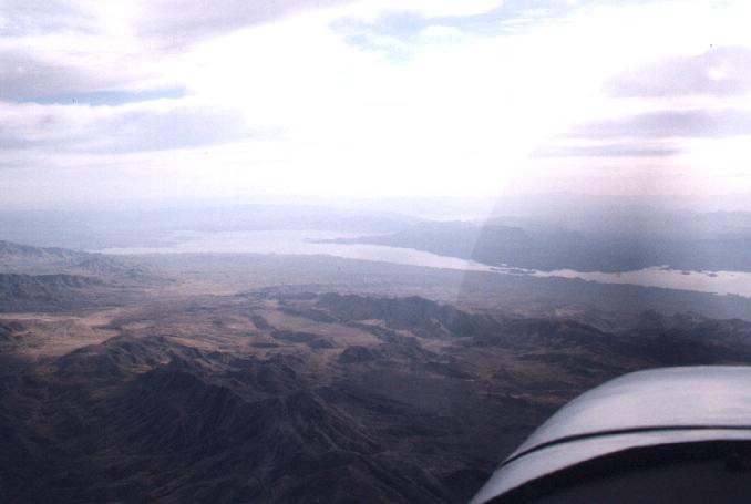
Lake Mead from 10,000 and decending into Las Vegas
Landed at North Las Vegas Airport and spent the night at the Fiesta Hotel-Casino
Trip from Gallup and Window Rock was about 311 n.m. and took us 4.2 hours due to high
altitude and headwinds
the fuel burn was better at altitude and we had used ony 33.8 gals fuel.
This is a shot looking west from the high desert of Nevada just south or
Mono Lake
12,500 msl
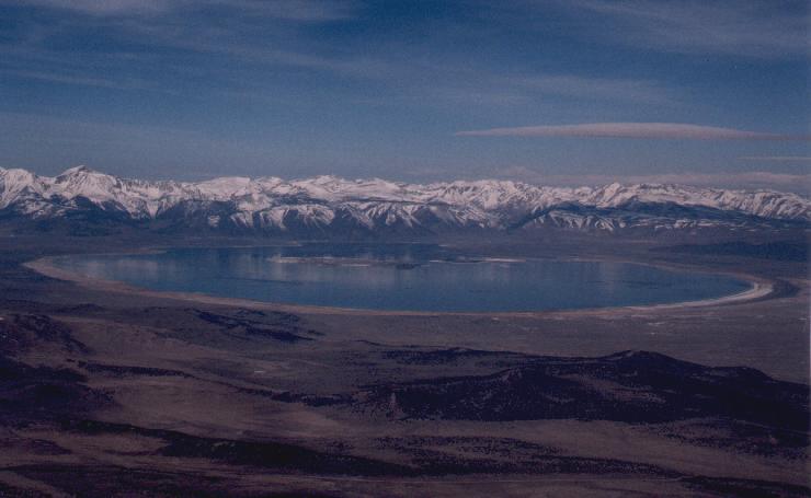
Mono Lake from the East

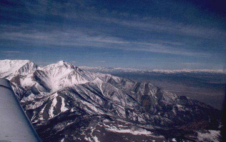
looking north at 12,500 msl over the Sierras just west of Bridgeport-Bryant
another shot over the sierras at 12,500 msl
Made it over the Sierras with horific headwinds (at one point less then 40 knots
groundspeed while indicating over 100 at 12,500 ft) and then on into Petaluma (O69) in 4.2
hours hobbs time.
411 n.m. leg and used 40.4 gals. fuel
2336 n.m. total
198.9 gals. fuel total
25.4 hours hobbs time
11.7 nautical miles per gal.
average of 92 knots with all airport taxing and headwinds.
Click here for some Bay area Photos
Colin PerryThis page viewed